Hook
About the Hook Project
The Hook Project is 100% owned by Geiger Energy with no underlying royalties or option agreements. Hook is on a northwest-oriented geophysical strike with two high-grade uranium occurrences; the McArthur River mine and the Hook Lake surface showings where veins have returned 44.5 wt% U3O8 from grab samples.
Location and Infrastructure
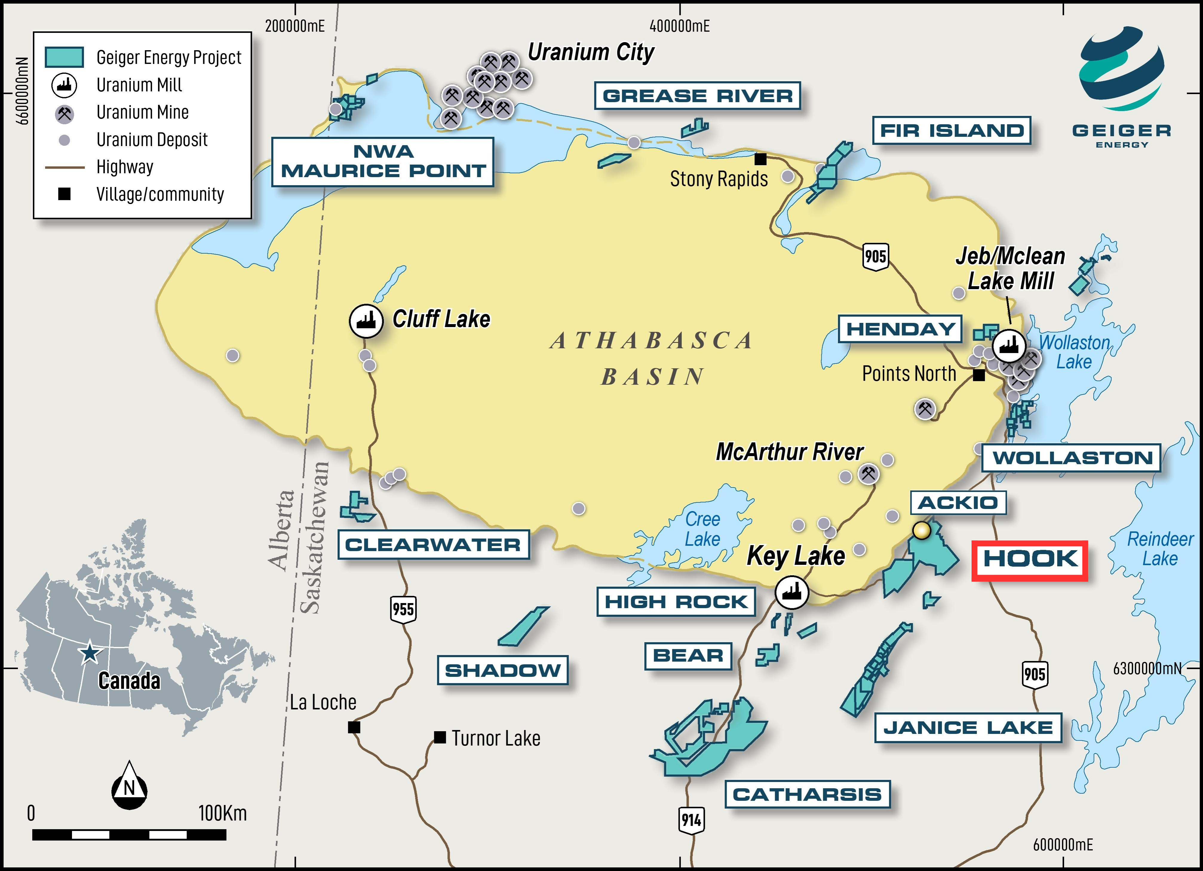
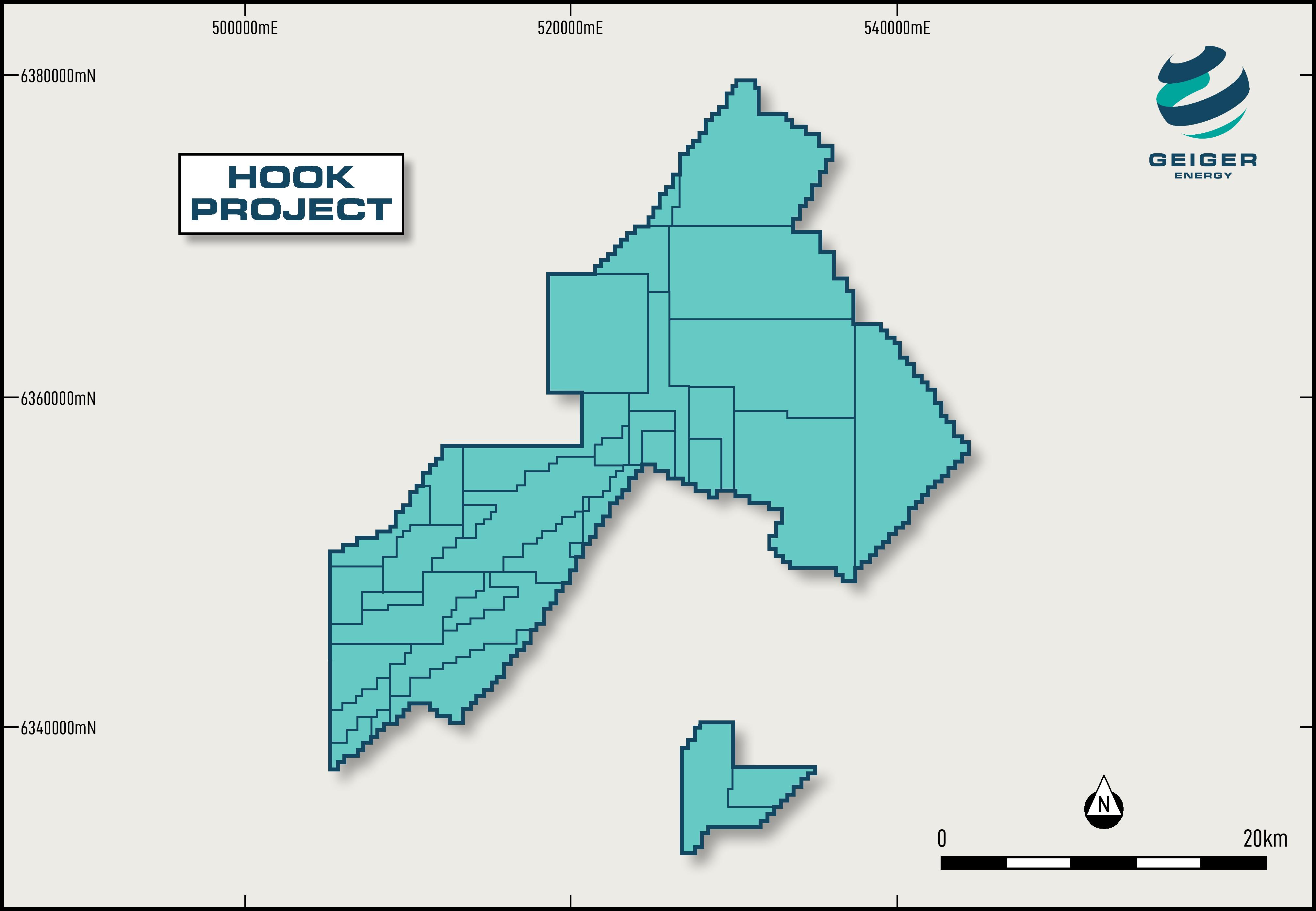
Hook is located 40 km southeast from the McArthur River mine, 60 km northeast from the Key Lake uranium mill, and 16 km west of all-season Provincial highway 905 and powerlines. The Property encompasses ~62,000 hectares adjacent to the Athabasca Basin.
ACKIO is 30 km southeast of well-established infrastructure, including an all-season road and powerline between Cameco Corp.’s (TSX: CCO) and Orano’s McArthur River mine and Key Lake uranium mill joint ventures. ACKIO is 70 km northeast of the Key Lake mill.
ACKIO Uranium Discovery
Mineralization begins as shallow as 25 m below surface and extends to a depth of approximately 300 m, with the majority concentrated within the upper 190 m. The ACKIO zone spans over 375 m along strike and more than 150 m in width, comprising at least five distinct zones. It remains open to the west, south, and along the Athabasca sandstone unconformity to the north, east, and south.
Property Geology
The Hook project is hosted within the basement rocks of the Wollaston domain, which hosts the highest grade uranium deposits in the world. This is in line with Baselode’s “Athabasca 2.0” strategy: exploring and developing projects with little to no sandstone cover, in areas that have deep rooted structures with ideal structural “traps” for uranium mineralization.